The SMART Partnership and EarthRanger unite to launch a global conservation alliance
Introducing the SMART-EarthRanger Conservation Alliance (SERCA), the first-of-its-kind collaboration to transform how the world's protected and conserved areas are managed.
After years of informal collaboration, SMART and EarthRanger are joining forces to accelerate impact and make effective management achievable at scale.
One unified system
Set to combine SMART and EarthRanger into a single flow so teams can collect, see, analyze, and act.
Standards and training at scale
Aligns with proven management standards and provides global training, so best practices stick in the field and at HQ.
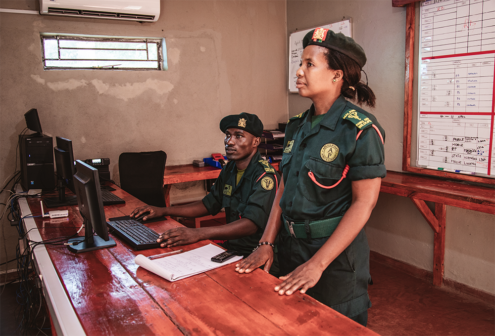
Image: Akashinga
Real-time operations and long-term insight
Will connect patrols, wildlife tracking, and infrastructure monitoring with analysis and reporting that improve effectiveness over time.
Built to roll out across countries and regions
Gives governments, NGOs, and communities a credible solution to deploy across entire protected-area networks—national or transboundary—and adapt locally.
Coming Soon: The SERCA suite of solutions
The alliance is more than technology. It's standards, training, and a global support network. These are the core components that teams will use on a day-to-day basis.
Web
Operate from a unified view, connect data sources, and coordinate decisions in real time. SERCA web experience is the entry point for most users.
Offline / Desktop
Built for limited connectivity and data sovereignty needs, sites can use SMART Desktop today and transition seamlessly to the SERCA desktop solution when available.
Mobile
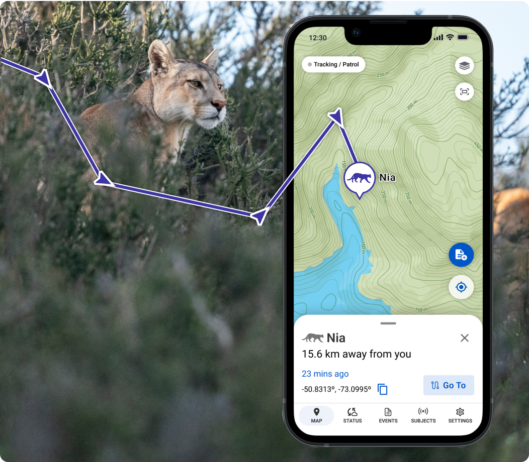
Collect observations and community surveys offline, track wildlife or personnel with go-to navigation, and sync automatically when a connection is restored.
Ecoscope
Turn data into action with visual analytics and reports that deliver insights in minutes, not weeks — improving management effectiveness over time.
Gundi
Connect sensors, field data, and partner systems to centralize information, reduce manual work, and keep every SERCA component seamlessly linked.
wpsWatch
Provides real-time monitoring and alerts from connected cameras using AI to detect wildlife, people, or threats across protected and conserved areas.
Akili
An open, end-to-end platform that supports biodiversity monitoring and protection through reliable, AI-ready tools for collecting and analyzing field data.
Designed for everyone working to understand and mange our natural places
SERCA brings together the people behind effective management — from field teams and community stewards to researchers, planners, governments, and technologists — all using shared tools to protect wildlife and the communities that depend on it.
Phase
01
On-the-ground teams
Safer, smarter work with connected tools that provide visibility, support, and peace of mind, even in the most remote posts.
Phase
02
Researchers & community members
Collect and access data, including citizen science contributions, monitor local conditions, and share insights that strengthen protection, planning, and collaboration across sites.
Phase
03
Conservation managers & planners
Shift from reacting to planning ahead using shared tools for smarter resource allocation and lasting management improvements.
Phase
03
Governments & partners
Scale management from local to national levels with shared systems, training, and data that track progress toward global biodiversity goals.


.png)


.jpeg)


.jpg)